|
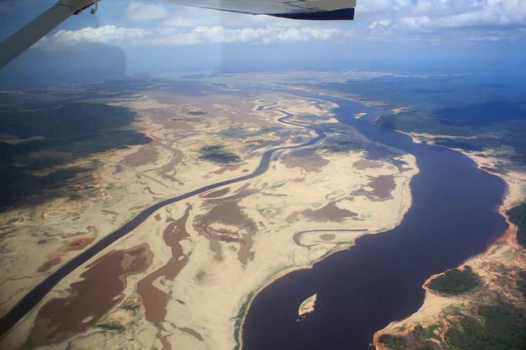 |
| Rio La Paragua | |
| Latitude: N 6°48'58,61" | Longitude: W 63°3'38,10" | Altitude: 1477 metres | Location: Santa Marta | State/Province: Estado Bolívar | Country: Venezuela | Copyright: Ron Harkink | See map | |
| Total images: 70 | Help | |
|
|
|
| Rio La Paragua | |
| Latitude: N 6°48'58,61" | Longitude: W 63°3'38,10" | Altitude: 1477 metres | Location: Santa Marta | State/Province: Estado Bolívar | Country: Venezuela | Copyright: Ron Harkink | See map | |
| Total images: 70 | Help | |